
 Parks & gardens
A pause by the pond
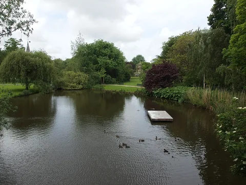
Leave a little space after the market for the lawns and water of Sarphatipark.
Explore
Pick a single stretch of green and give it a whole part of the day. Check the park’s access and conditions if the weather has been wet.
Parks & gardensLeave a little space after the market for the lawns and water of Sarphatipark.
 Running & cycling
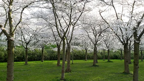
Trade the canal edge for a forest trail. Start with a route map from the people who manage the Bos.
Showing 1–24 of 63 listings
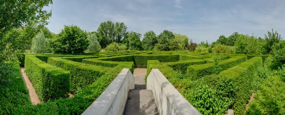
Take a longer break in this south-side park before returning to the Amstel. Its garden layout dates to the Floriade.
Set aside an unhurried block for the forest beyond the city boundary. The forest operator publishes separately marked running circuits.
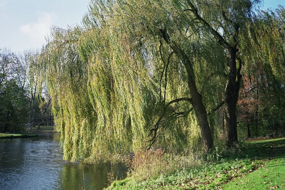
Take a green break at Baanakkerspark in Amsterdam Noord. The municipal map records 20.3 hectares of parkland.
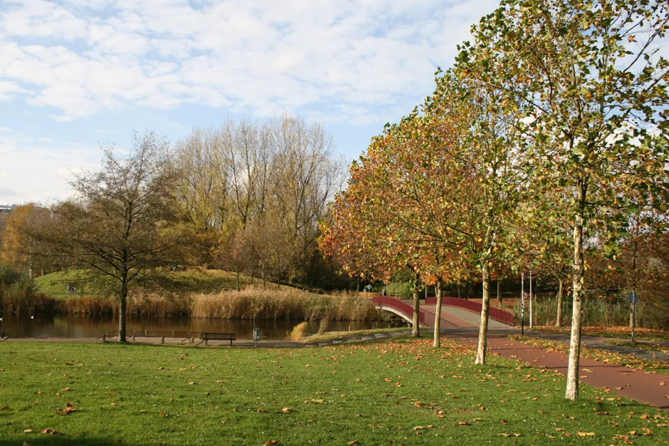
A green pause in Zuid near the RAI. Walk through the park if you want a break between the buildings around the Zuidas.
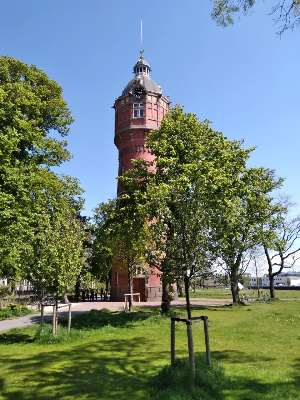
Take a green break at Bella Vistapark in Amsterdam Oost. The municipal map records 2.2 hectares of parkland.
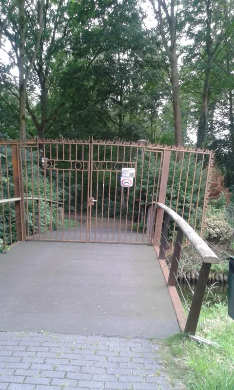
Take a green break at Bijlmerweide in Amsterdam Zuidoost. The municipal map records 63.6 hectares of parkland.
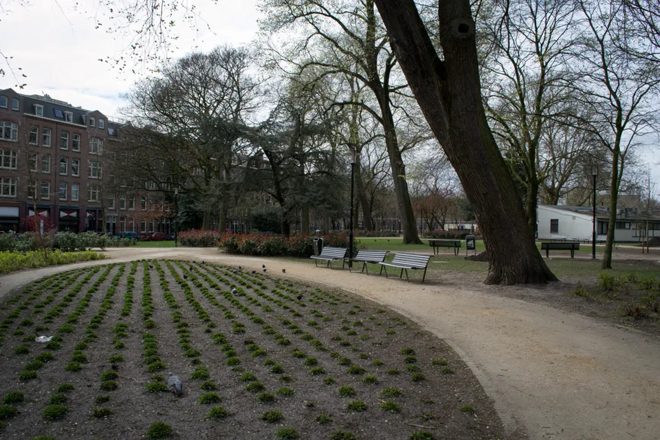
Take a green break at Bilderdijkpark in Amsterdam West. The municipal map records 5,116 square metres of parkland.
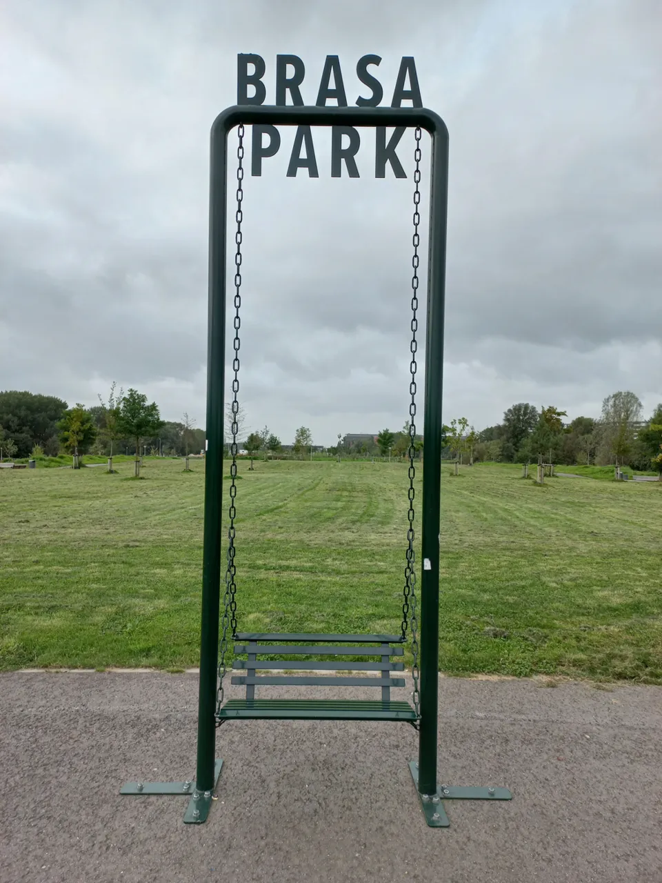
A green strip between Gaasperdam and the Bijlmermeer in Zuidoost. Make it a separate park stop on a southeast Amsterdam day.
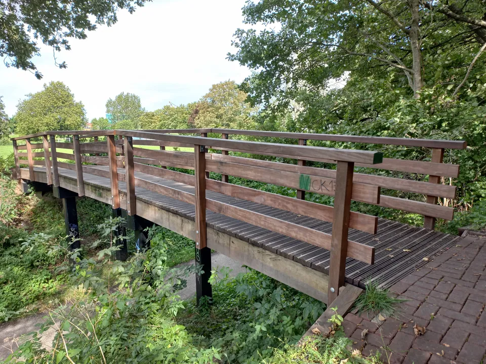
Take a green break at Buiksloterbreekpark in Amsterdam Noord. The municipal map records 3.3 hectares of parkland.
Take a green break at Buikslotermeerpark in Amsterdam Noord. The municipal map records 25.0 hectares of parkland.
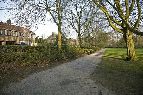
Take a green break at Darwinplantsoen in Amsterdam Oost. The municipal map records 4.5 hectares of parkland.
Stop at De Boswinkel with your questions about the forest. Leave time to browse the exhibitions before heading out.
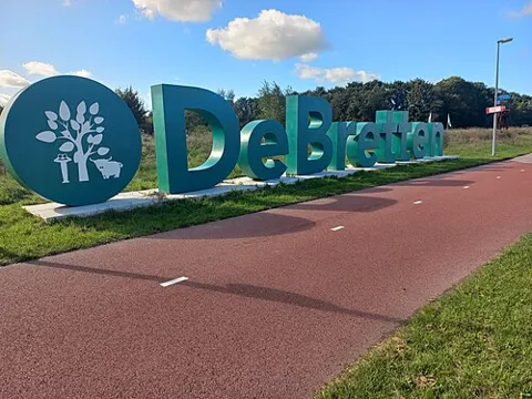
Take a green break at De Bretten in Amsterdam Nieuw-West. The municipal map records 167.2 hectares of parkland.
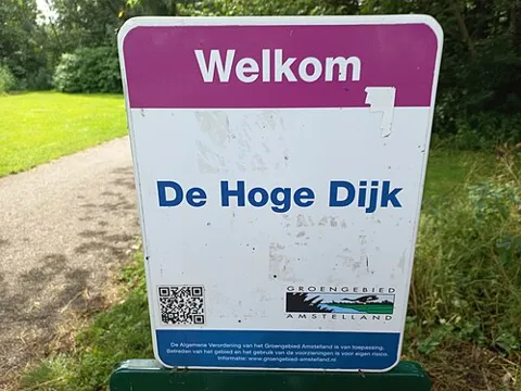
Take a green break at De Hoge Dijk in Amsterdam Zuidoost. The municipal map records 41.7 hectares of parkland.
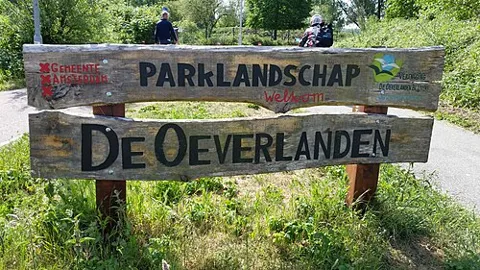
Head to the northern side of the Nieuwe Meer for a waterside break in Nieuw-West. Check the city guide for access and swimming information.
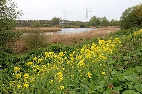
Take a green break at Diemerpark in Amsterdam Oost. The municipal map records 92.9 hectares of parkland.
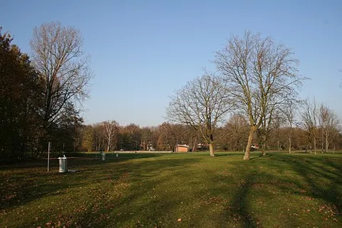
Eendrachtspark is a group of municipal green parcels in Amsterdam Nieuw-West. Leave time for a park stop in the western part of the city.
Take a green break at Eerste Marnixplantsoen in Centrum. The municipal map records 6,205 square metres of parkland.
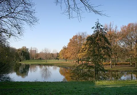
Make room for a park detour in West. The park sits inside a bend of the Erasmusgracht and is an easy place to pause on a neighbourhood day.
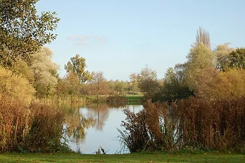
Walk out to the east edge of the Indische Buurt for a green interval. The park also has a mapped municipal running circuit.
Take a green break at Frederik Hendrikplantsoen in Amsterdam West. The municipal map records 2.1 hectares of parkland.
Take a green break at Funenpark in Centrum. The municipal map records 1.3 hectares of parkland.
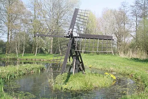
Pair the park in Zuidoost with time by Gaasperplas. Keep your schedule flexible if you are heading out for the water.
Take a green break at Gaasperzoom in Amsterdam Zuidoost. The municipal map records 88.2 hectares of parkland.